
Date: 2009-09-18
Start: Arenig Fawr Finish: Arenig Fawr
Distance: 7.5 mls, 12.07 km
Height Gain: 2500 ft, 762.0 m
Start Time: 09:43 End Time: 13:42
Duration: 03:59
Ave Speed: 1.9 mph
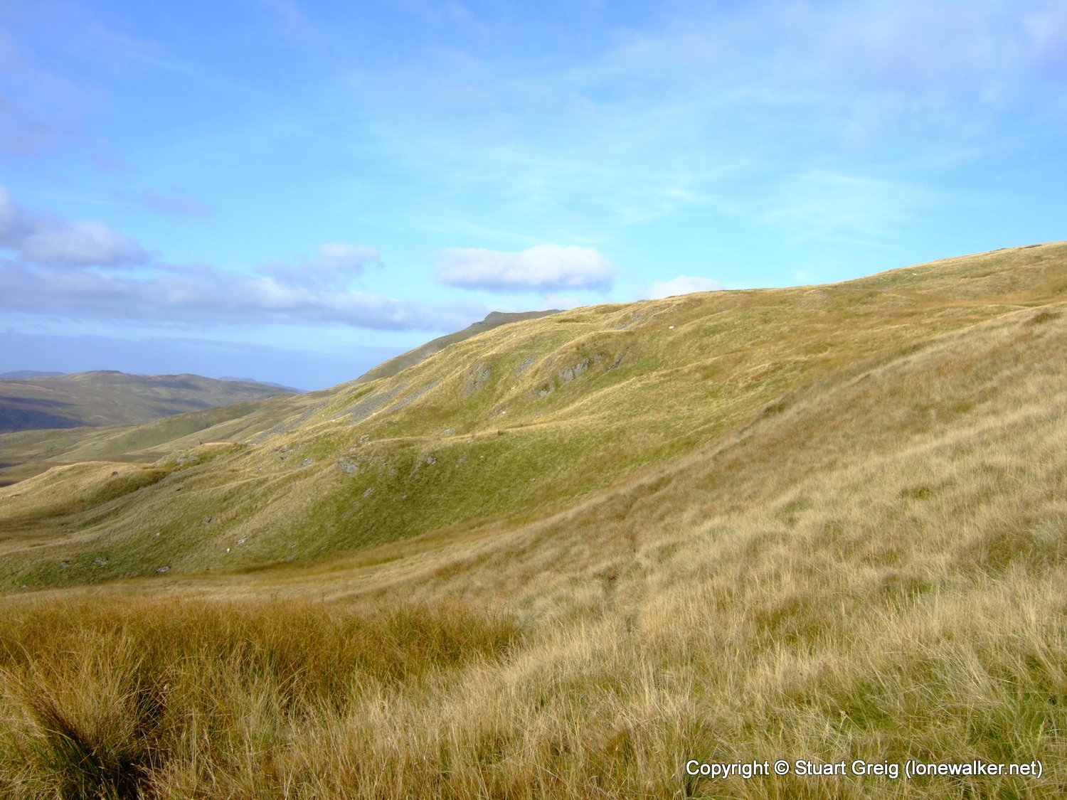
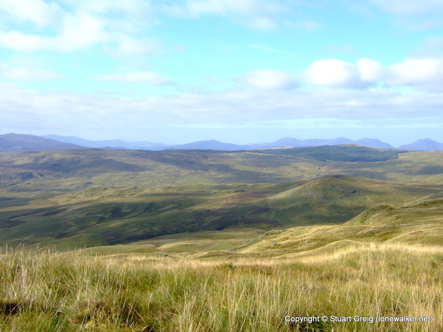
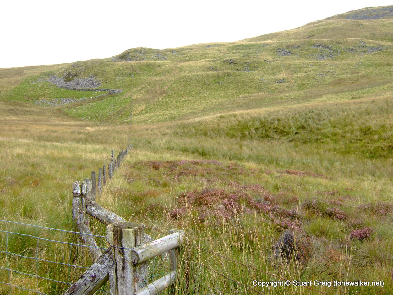
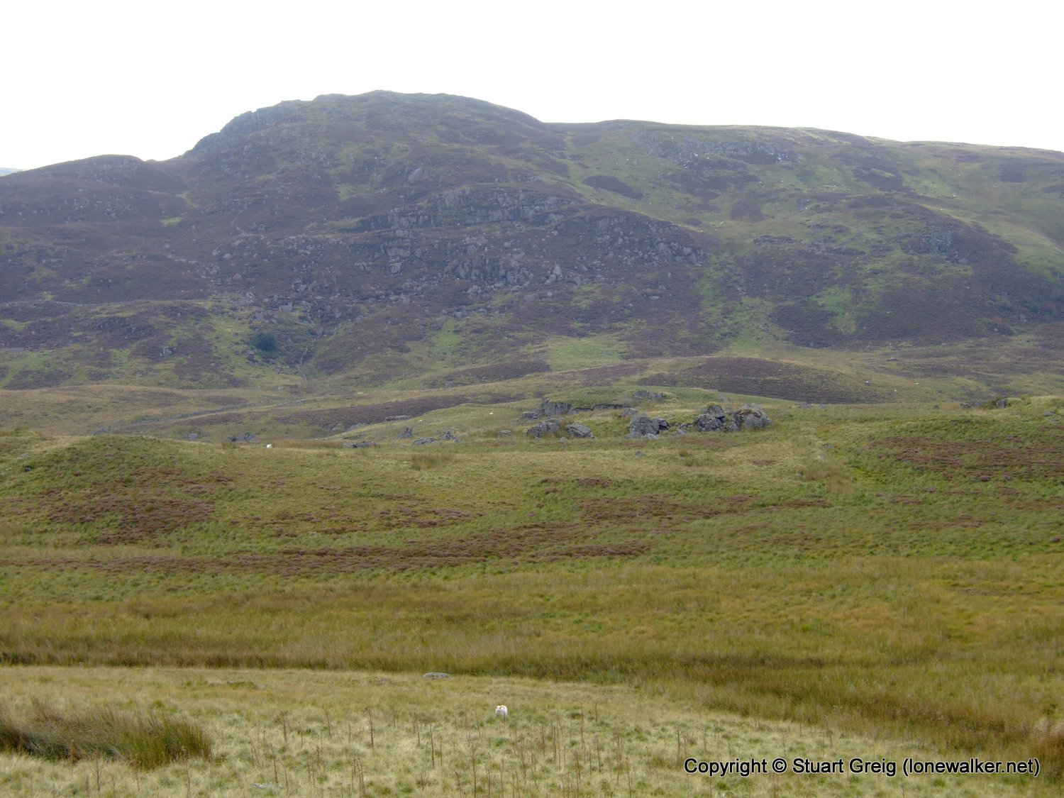
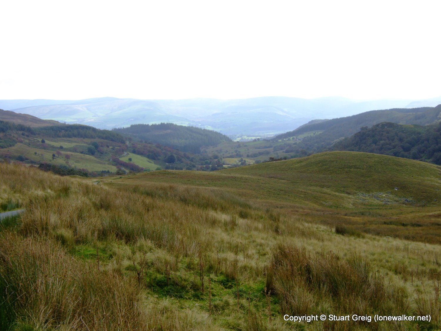
Region: North Wales
Route Description: Llechwedd Erwent, Bryn Cau, Dolhendre, Pont y Pandy
Parking Grid Ref: SH 87988 29754
View Parking space in: OS Map or Google Street View
Walking with: Rob Powell
Long Distance Path:
Click any image to open the full screen photo gallery

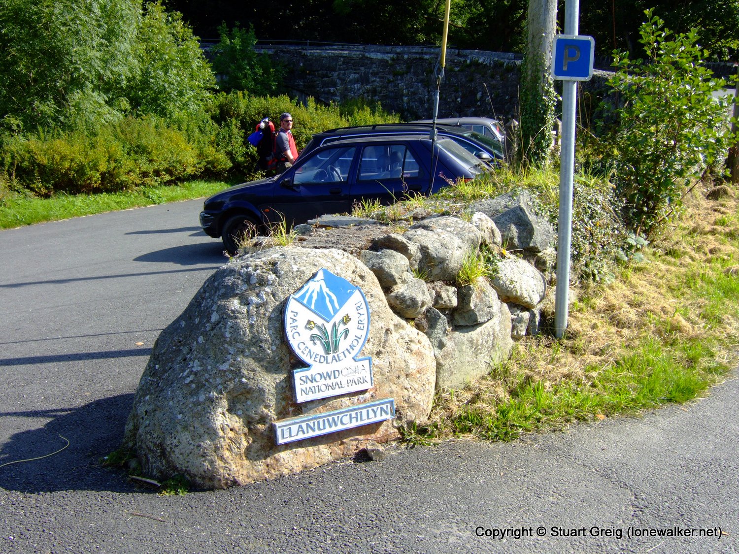
Walk Name: Llanuwchllyn to Arenig Fawr
Date: 2009-09-17
Distance: 6.0 mls, 9.66 km
Height Gain: 500 ft, 152.4 m
Walk Name: Surrender Mill
Date: 2009-09-26
Distance: 11.0 mls, 17.70 km
Height Gain: 1800 ft, 548.6 m