
Date: 2018-03-31
Start: Armathwaite Finish: Langwathby
Distance: 11.5 mls, 18.51 km
Height Gain: 1100 ft, 335.3 m
Start Time: 09:10 End Time: 13:55
Duration: 04:45
Ave Speed: 2.5 mph
Region: Northern England
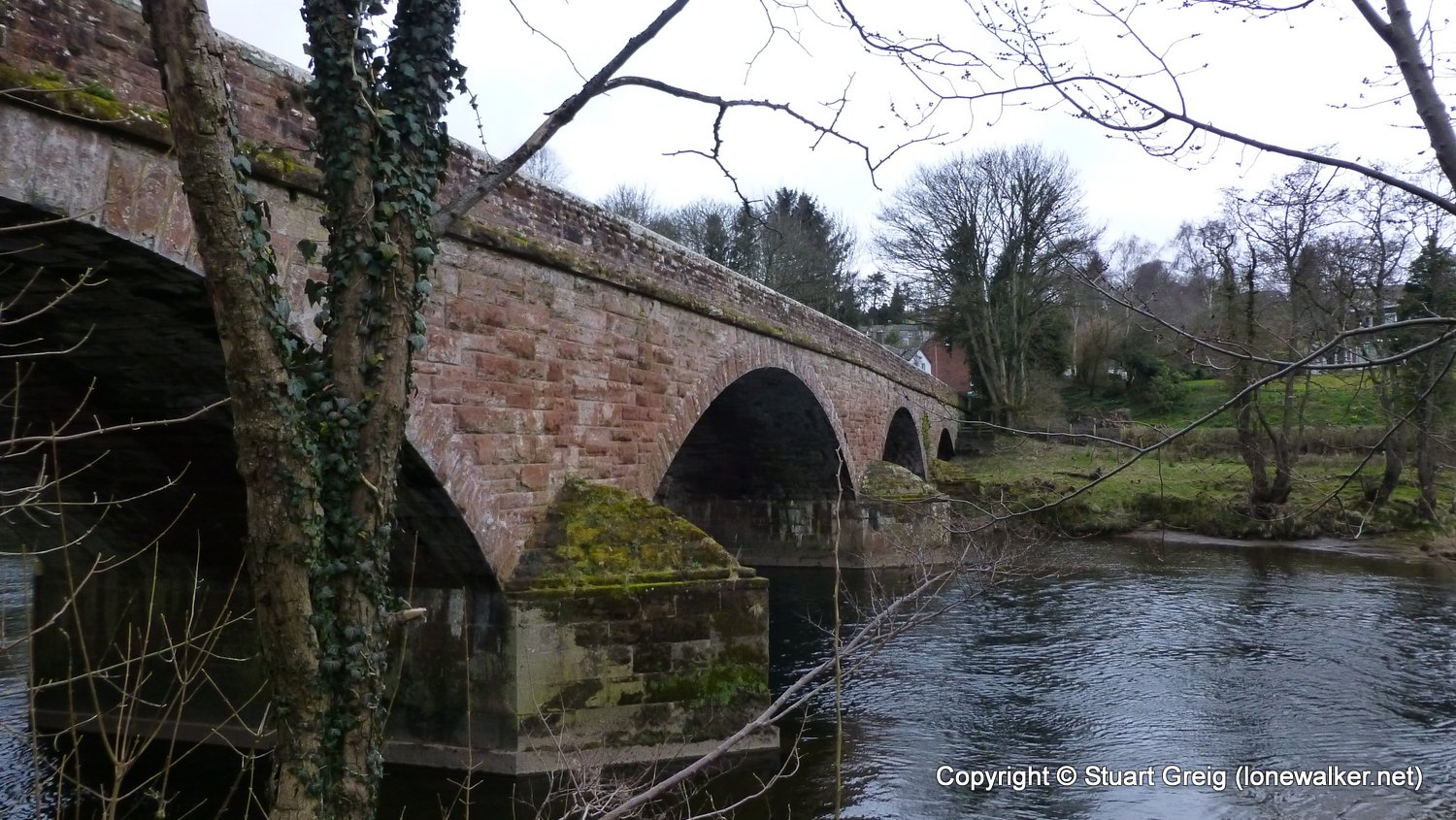
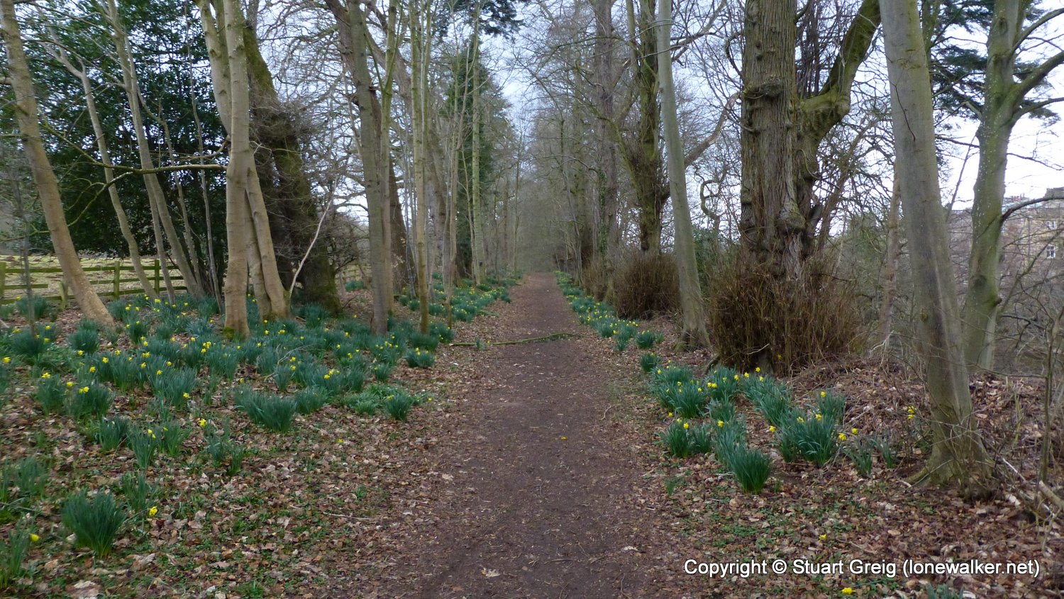
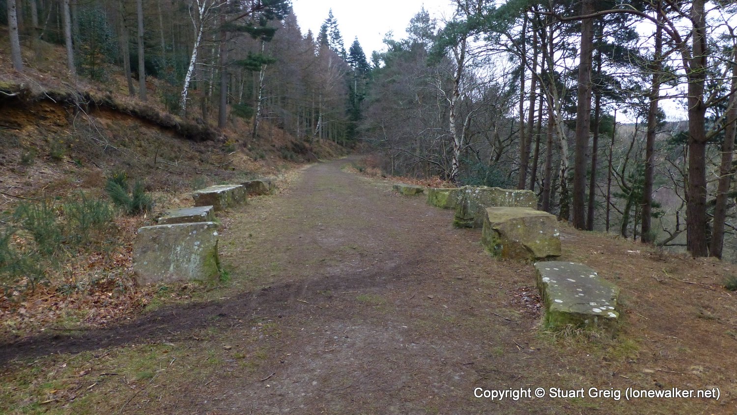
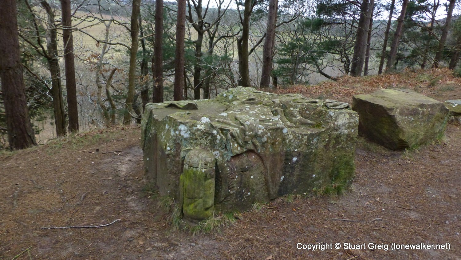
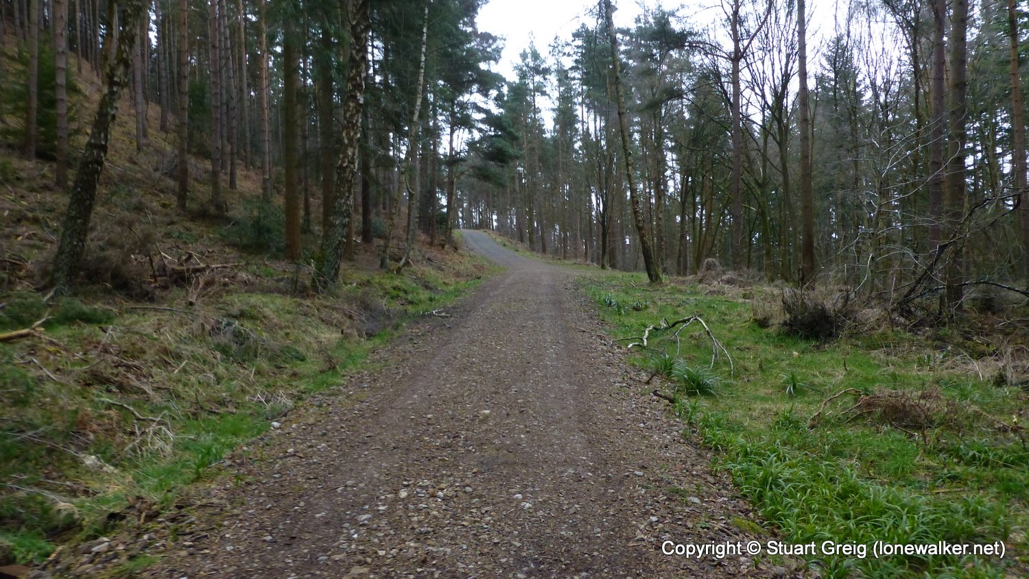
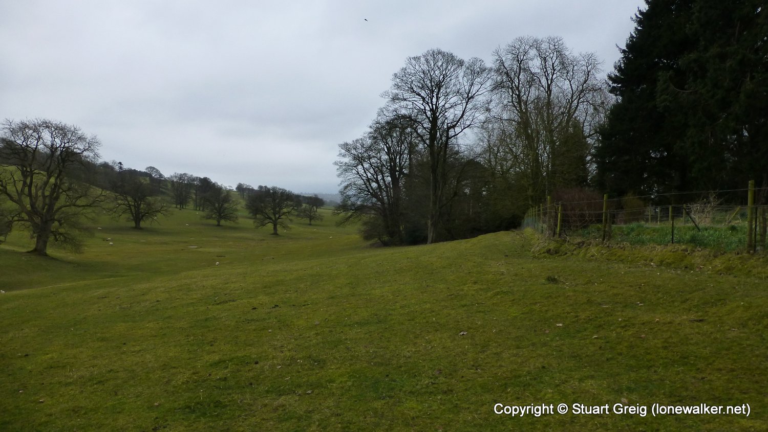
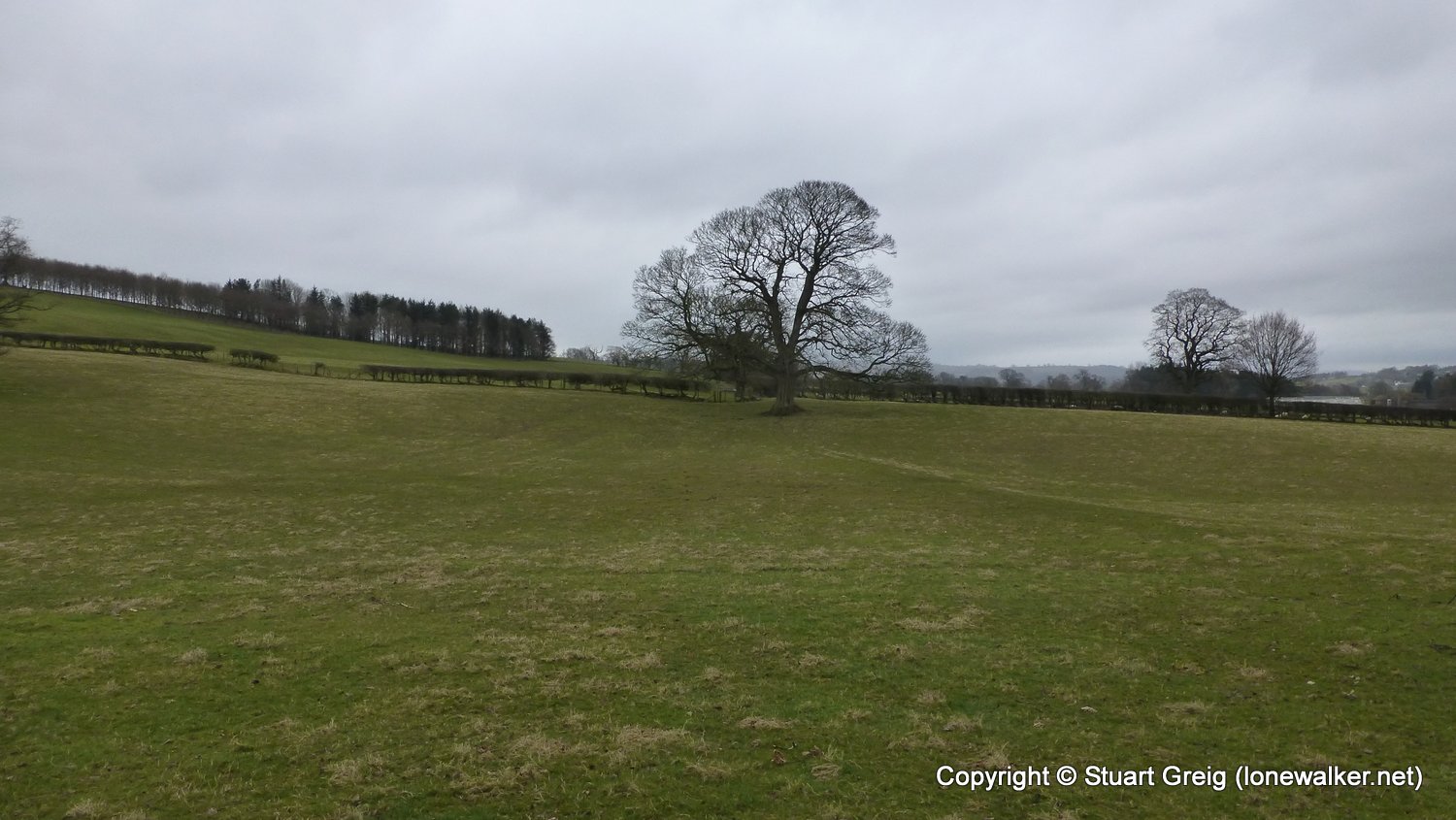
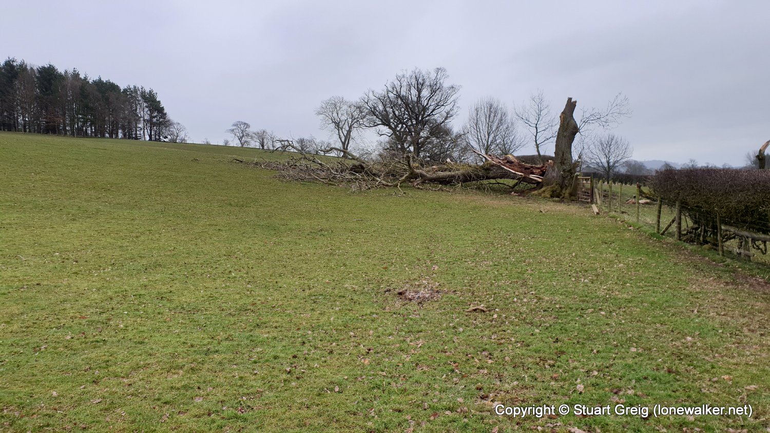
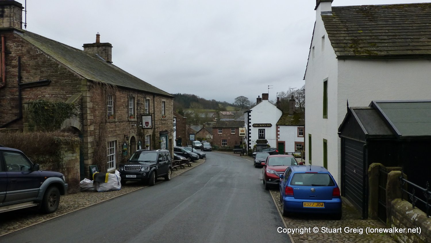
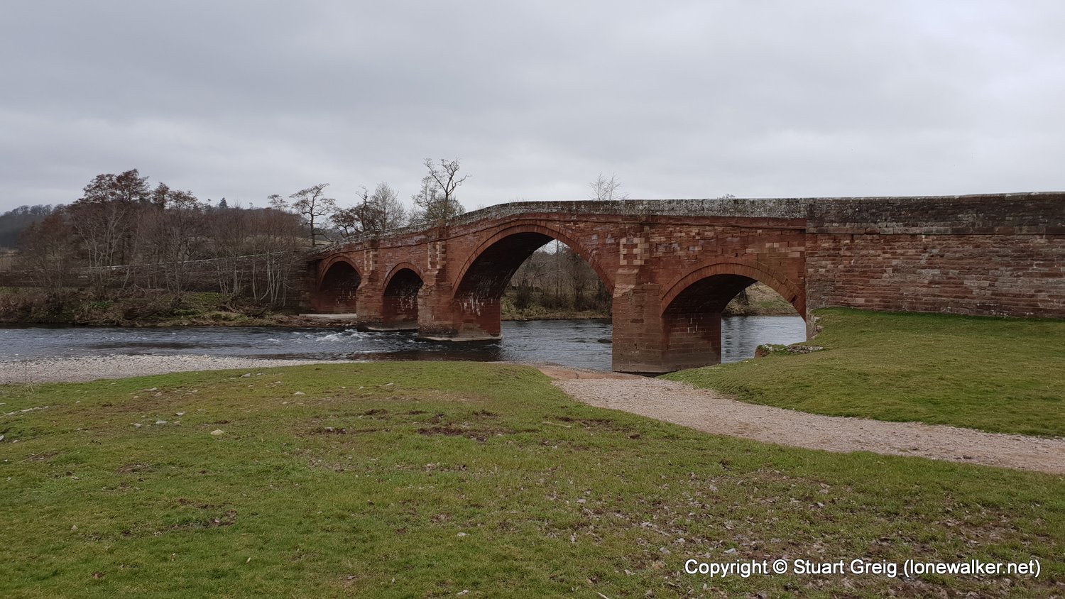
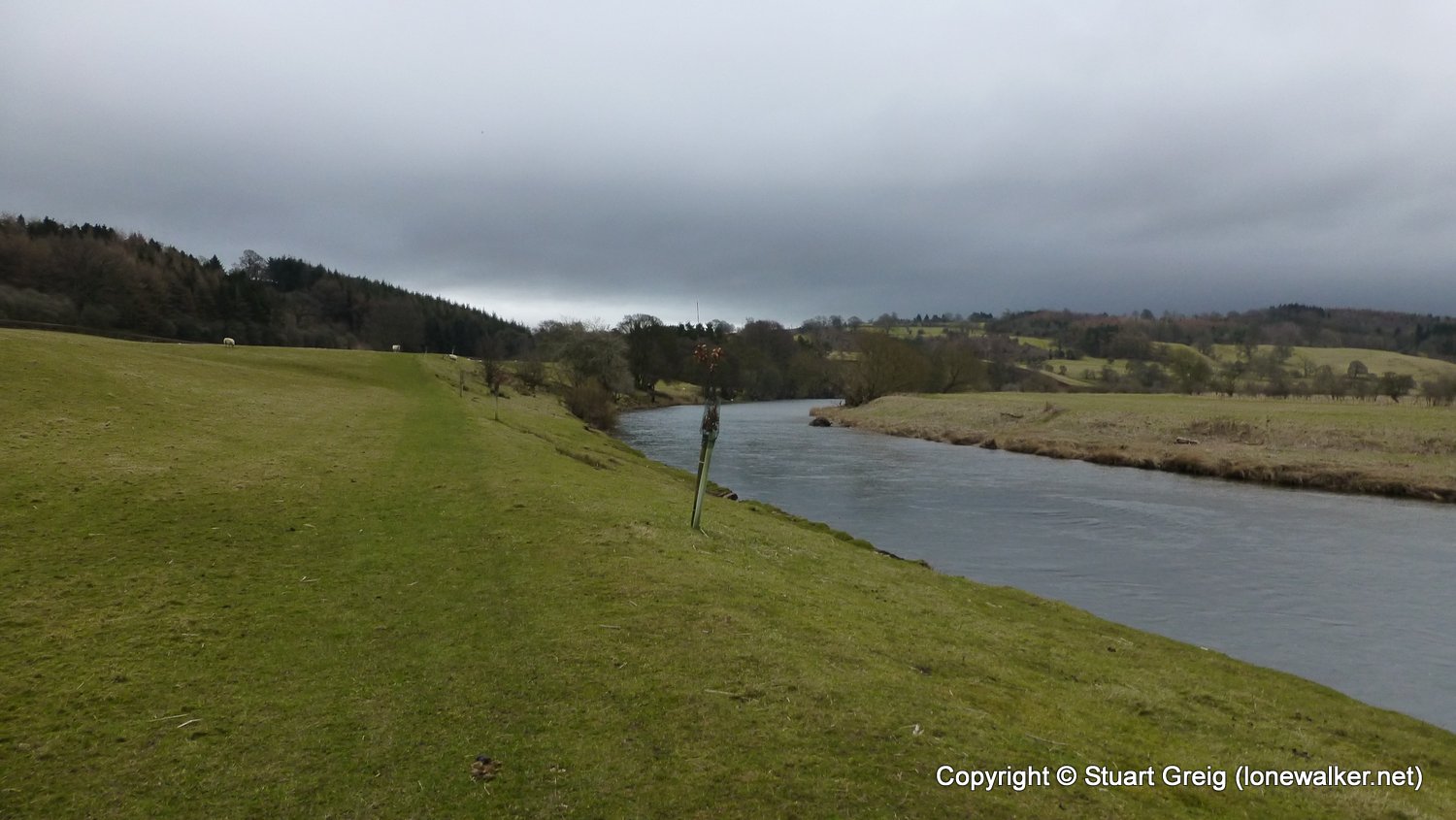
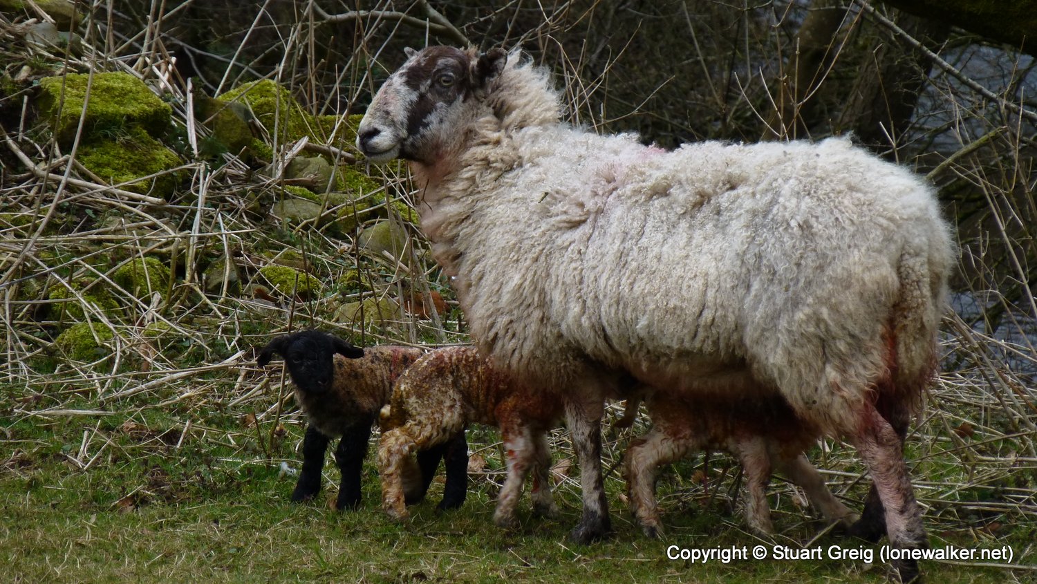
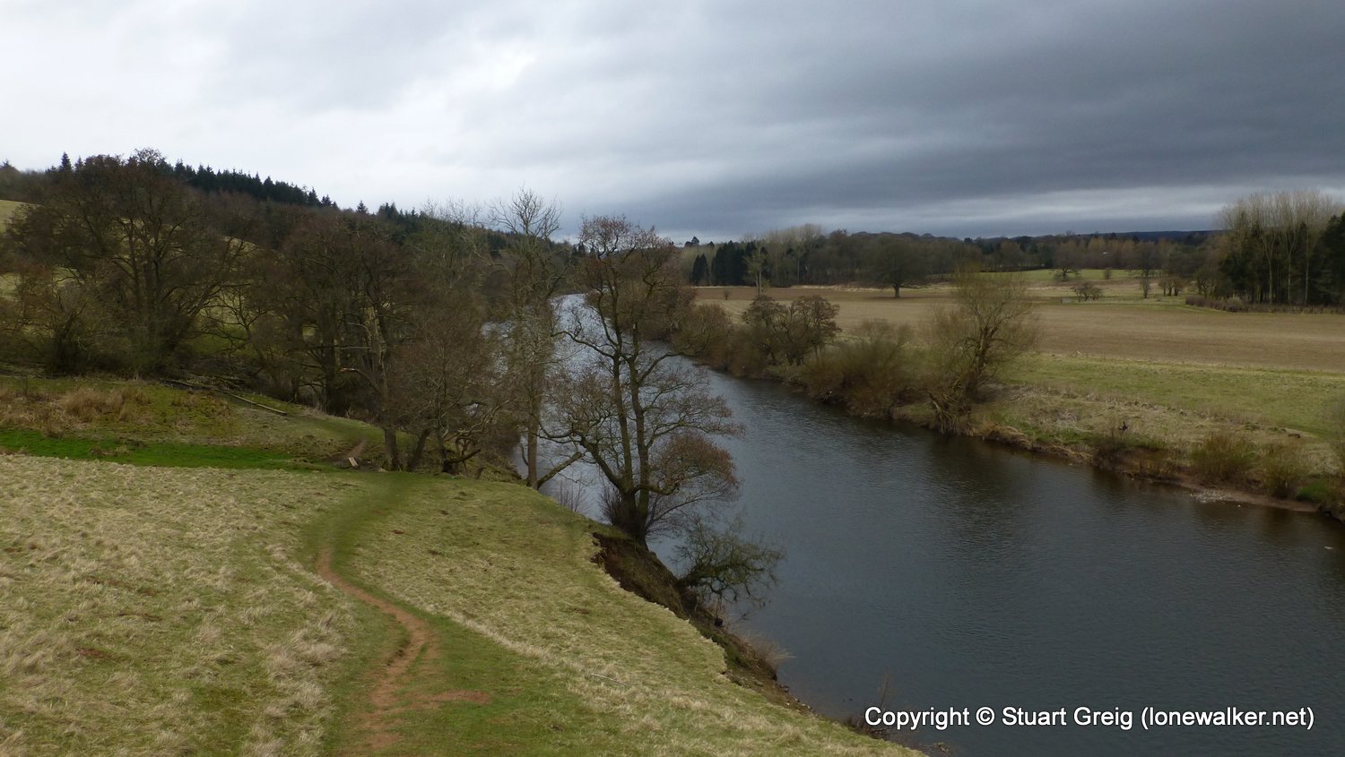
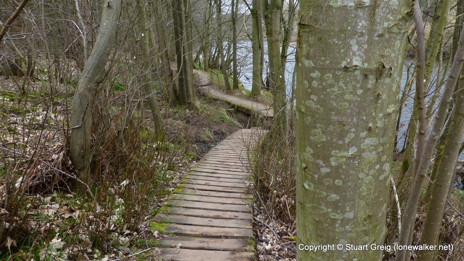
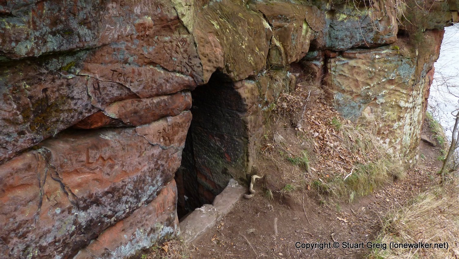
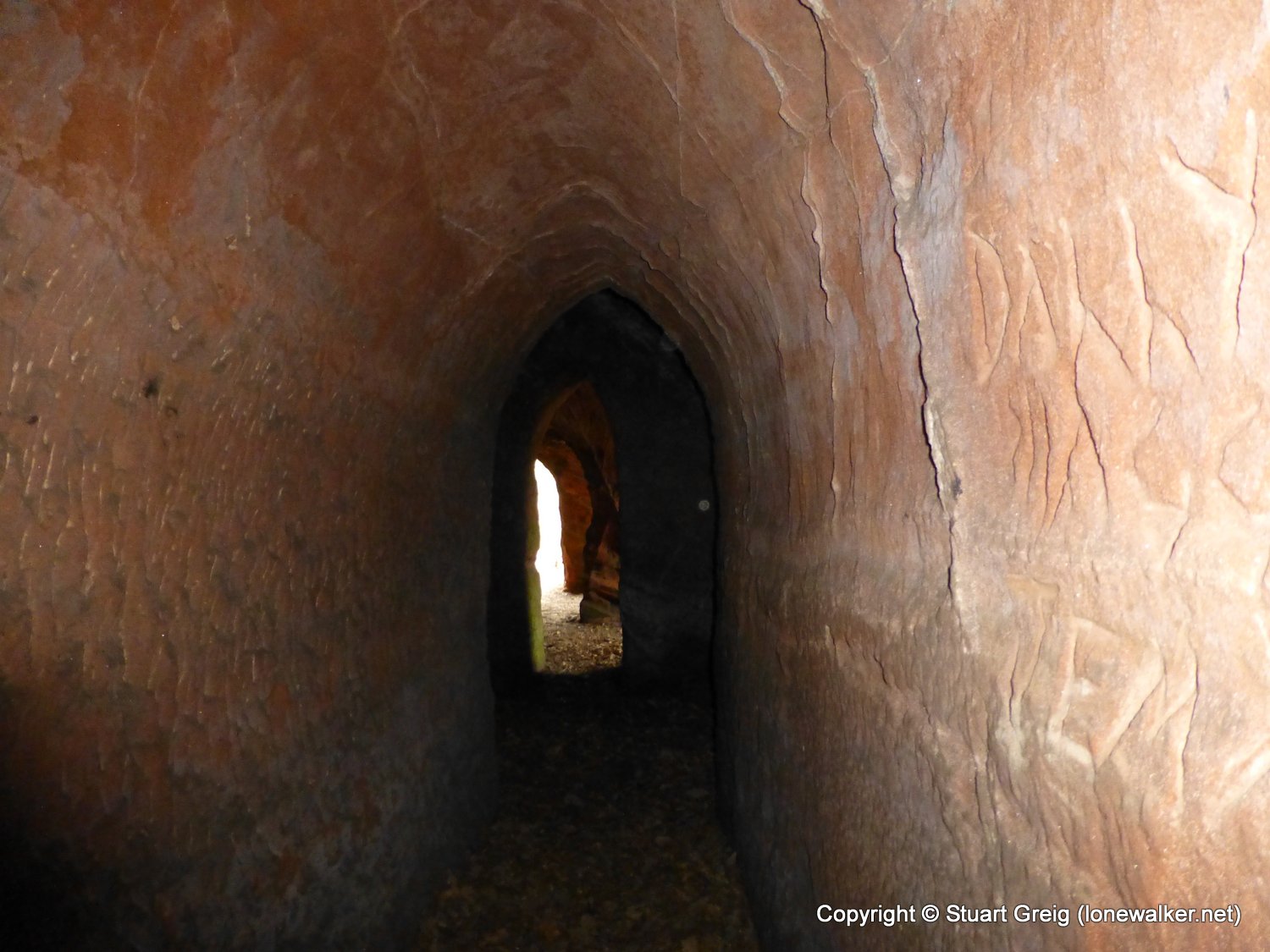
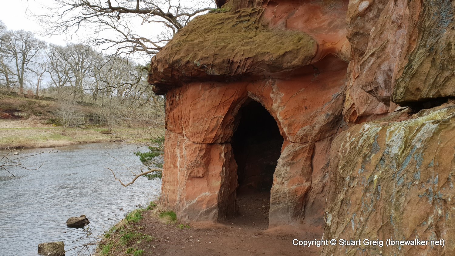
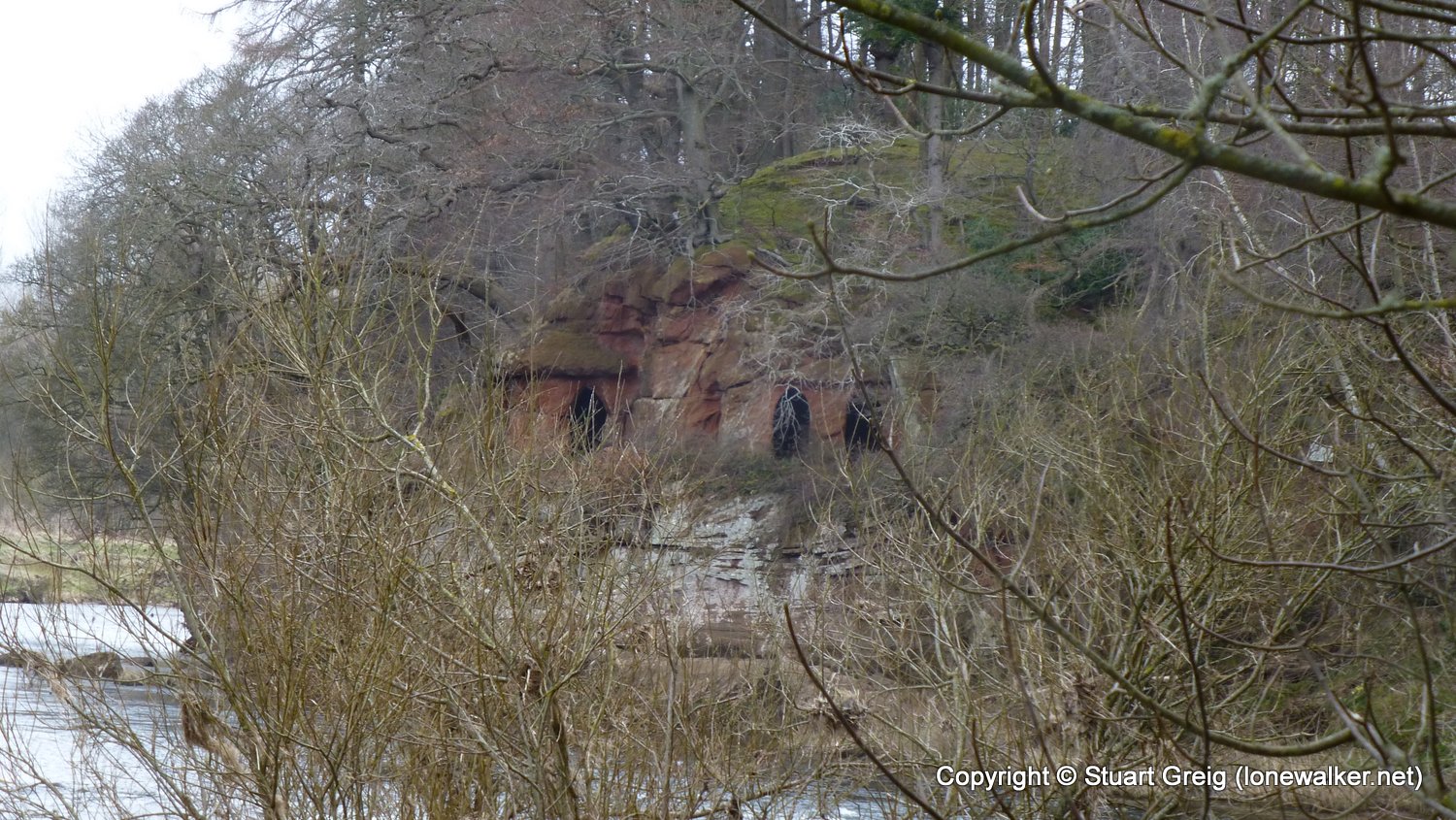
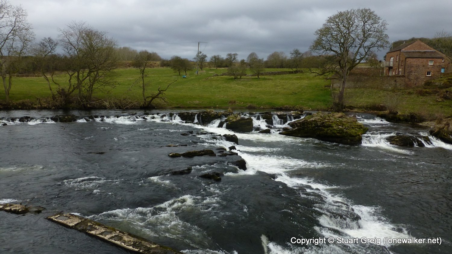
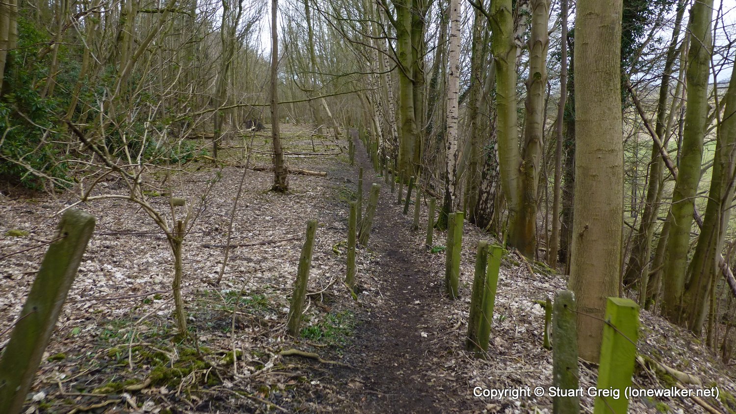
Route Description: Armathwaite, Coombs Wood, Beck Farm, Staffield, Kirkoswald, Eden Bridge, Daleraven Bridge, Lacys Caves, Longmeg Mine, Little Salkeld, Eden Mount, Langwathby
Parking Grid Ref:
View Parking space in: OS Map or Google Street View
Walking with:
Long Distance Path: Eden Way
Link to full Walk Report: https://lonewalker.net/eden-way-day-4/
Download GPX file for this walk:
If your browser opens the file directly, right click and "Save As.."
Click any image to open the full screen photo gallery
Walk Name: Wetheral to Armathwaite
Date: 2018-03-30
Distance: 9.4 mls, 15.13 km
Height Gain: 1000 ft, 304.8 m
Walk Name: Appleby to Kirkby Stephen
Date: 2018-04-02
Distance: 12.1 mls, 19.47 km
Height Gain: 1000 ft, 304.8 m